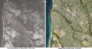
The following comparison shows a 1957 aerial survey photo showing the Ranelagh Estate and a comparison with a Google Earth image from 2015. The 1957 photo shows the original golf course near the bottom right corner which in 1961 started life as the Peninsula Boys School.

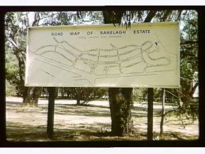
This photo below is of the original Ranelagh Estate map which was positioned on the John Butler Reserve facing the village. Best guess is that it was removed in the mid 1970’s.
